Harwood / Bradshaw
General: Harwood and Bradshaw are villages located north east on Bolton and situated on the West Pennine Moors. They are mainly residential areas although there are some businesses located here.
Location: Harwood and Bradshaw are both located on the West Pennine Moors near to the A676 Bury Road. The nearest serving railway station is at Bromley Cross which provides services to Manchester Victoria, Bolton, Clitheroe & Blackburn. First Manchester service 507 provides excellent links to Bolton.
Healthcare: The nearest health centre is located at Harwood – Harwood Medical Centre, Hough Fold Way – 0844 4773691.
Education: The area is home to various educational institutes including St Brendan’s RC Primary, St Maxentius CE Primary, Harwood Meadows, Hardy Mill Community and St Catherine’s Academy. Popular secondary schools Turton High and Canon Slade are also very close to the area.
Local facilities: The nearest serving supermarket is Morrisons located on Lea Gate. There are numerous pubs and restaurants in both villages and good facilities including hairdressers, garages and vets.
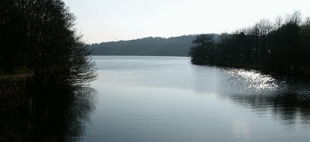
Leisure: Bradshaw is home to Jumbles Country Park providing exquisite views and is an ideal place for walks. Bolton Open Golf Course and Driving Range and Harwood Golf Course are also in the area.
Local authority: Bolton Council.